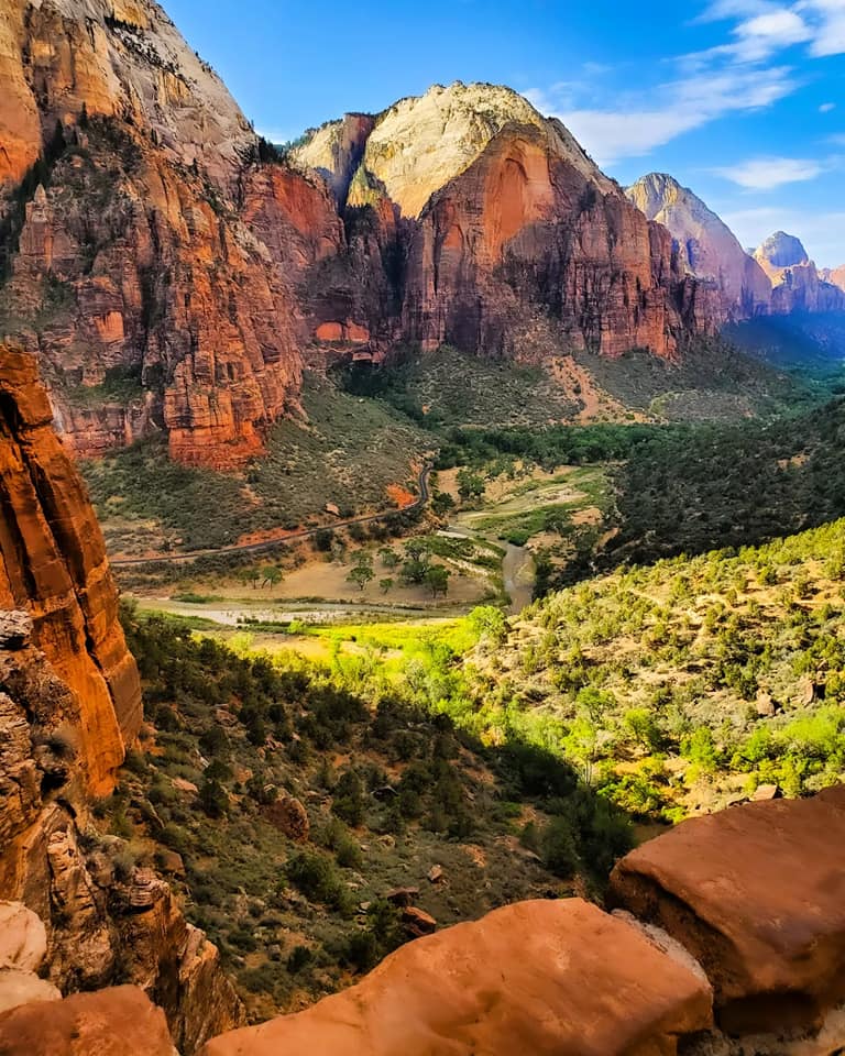
It was back in the 1990s when I visited the Colorado Plateau outside Moab, Utah. Four days of slick rock mountain biking, hikes in Arches and Canyonlands national parks and a scraped knee that let some red rock dust get into my blood. The Plateau calls me home for a pilgrimage every year.
Arches National Park is the home of more natural arches than any other known compact land area worldwide. The Green River deeply cuts Canyonlands National Park from the north and the Colorado River from the east. The two converge past Grand View and carve the route into the most northern outstretched canyon fingers of Lake Powell and the upper mouth of Glen Canyon.
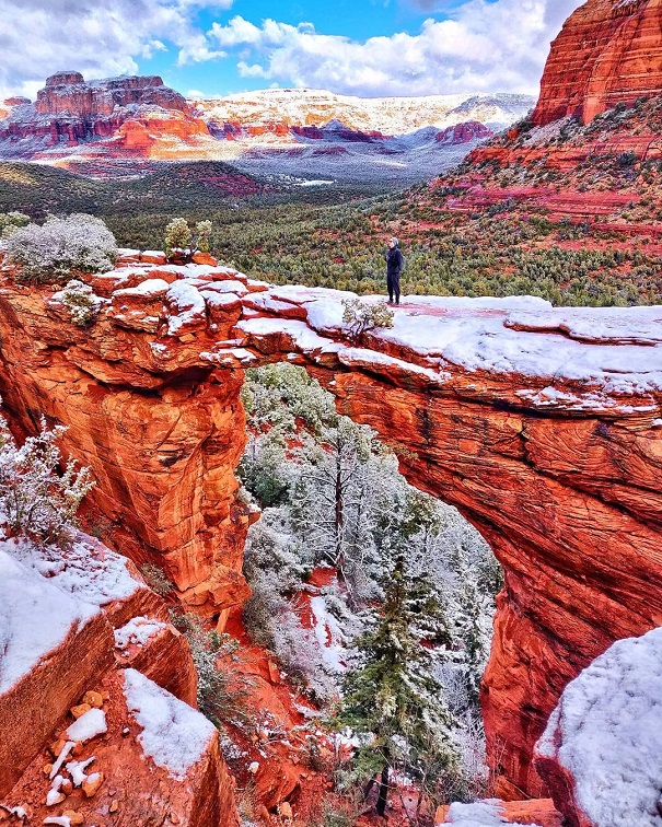
We left the parking area and crunched on the cream-color Entrada Sandstone surface of the mesa Island In The Sky at Canyonlands. The hard-packed trail was an easy walk to the loop, providing a Mesa Arch view. Drilled through by wind, rain, ice and snow, the arch is also the creamy color of the mesa, a stark change from the orange, red, and fire colors of the natural arches across the highway in its sister national park.
The trail wove between brilliant green and scraggly juniper bushes filled with young purple berries. We crested the rise from the parking lot and took to the loop trail to the right. A short walk and Mesa Arch rose to meet us.
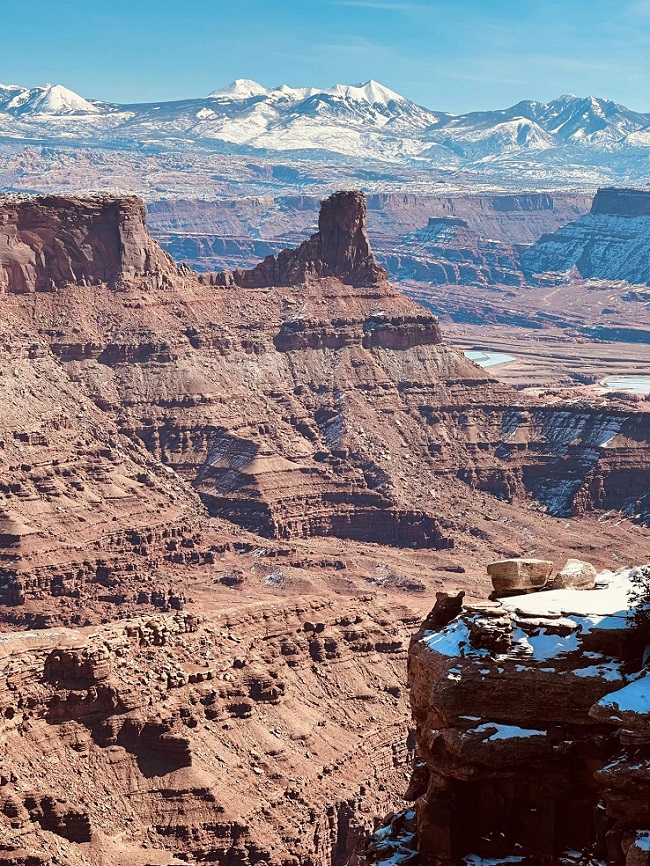
As impressive as the arch was to see, the landscape of the entire panorama sucked the breath from our lungs. Arrayed before us was the sheer canyon of the Colorado River snaking its way westward to the Gulf of California.
Just beyond the arch, visually appearing close enough to reach across and touch, a spire and hoodoo towered side-by-side. Across the canyon was the plateau of Canyonlands Needle District rolling southward where the snow-sprinkled La Sal Mountains backstopped it.
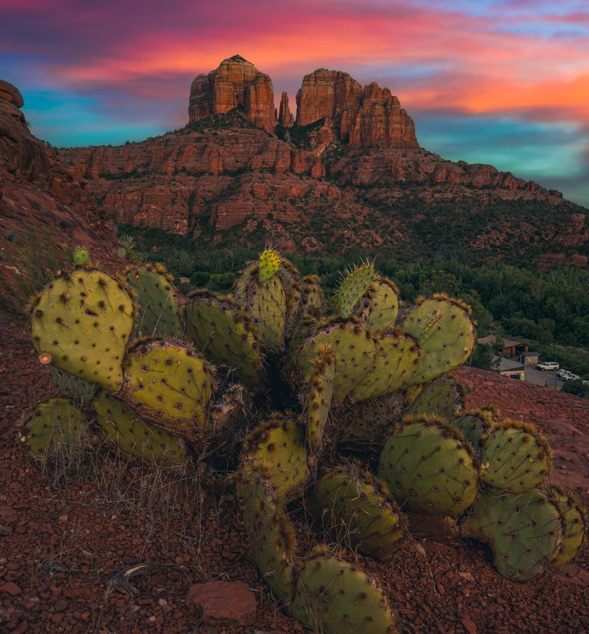
Arches’ red rock is also Entrada Sandstone, a sedimentary formation that can be cream, orange, red, pink or other colors. The cream color is also known as Navajo Sandstone because of its predominance across the Dinétah, the Navajo Nation, in northern Arizona and southern Utah.
The weather of the American Southwest, starting about 140 million years ago at the end of the Jurassic period, bullied its way with the soft sediments deposited by ancient seas, winds and desiccated tropical landscapes.
What stands today defines the American West: plateaus, mesas, buttes, spires, hoodoos, natural arches and natural bridges.
While they look the same, a natural arch and bridge differ. The natural arch is eroded and carved by wind, rain, ice, snow, and freeze-and-thaw conditions. A natural bridge is drilled by a stream burrowing its way through the soft rock or dirt rather than carving a round around the obstruction.
Plateaus are massive land areas stretching for dozens to thousands of square miles. Although relatively flat on the top, they are formed by the force of the earth through uplifts or volcanic activity.
Mesas as mini-plateaus with flat tops and steep sides. Usually wider than their height, mesas are formed by erosion.
Buttes are smaller than mesas and more isolated, erosion-carved flat top hills normally taller than they are wide.
Story by Eric Jay Toll

