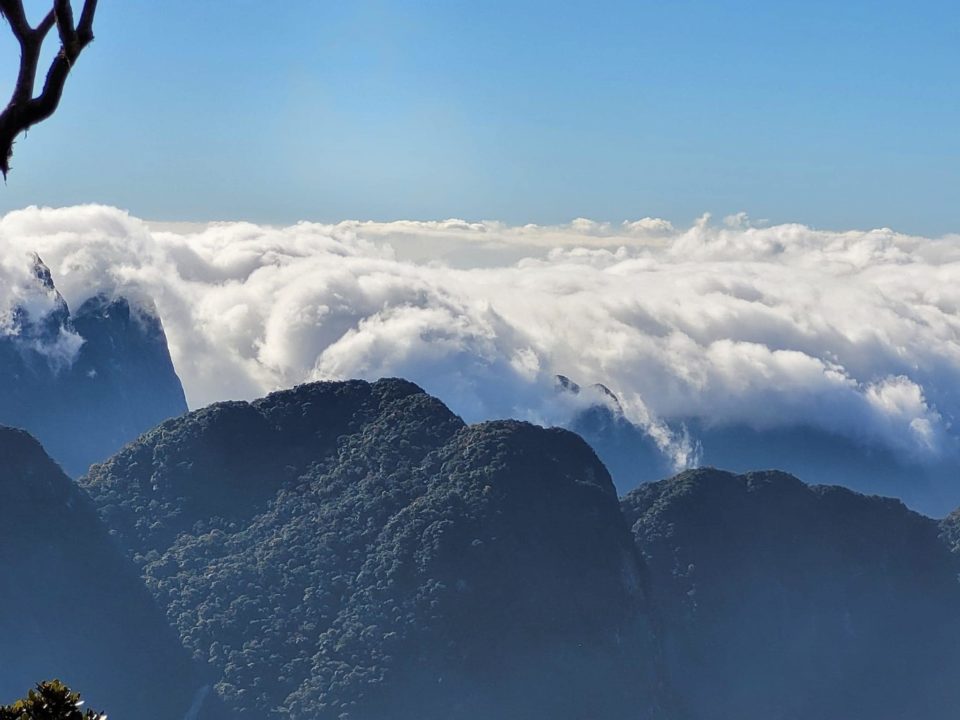
Nam Kang Ho Tao with an altitude of 2,881m is a mountain peak in the Northwest mountains, Vietnam. The peak is located in the territory of Thao A village, Ho Mit commune, Tan Uyen district, Lai Chau province. Location Nam Kang Ho Tao is located between the border of two provinces Lai Chau and Lao Cai.
Why is Nam Kang Ho Tao the most difficult trekking in the Northwest?
Nam Kang Ho Tao is a wild mountain with extremely complex terrain, the journey to conquer this mountain range requires physical strength, perseverance and endurance. Those who come to conquer are partly because of the beautiful scenery, and mostly because they want to overcome their own limits. Prepare yourself to overcome the challenges that await you at Nam Kang Ho Tao.
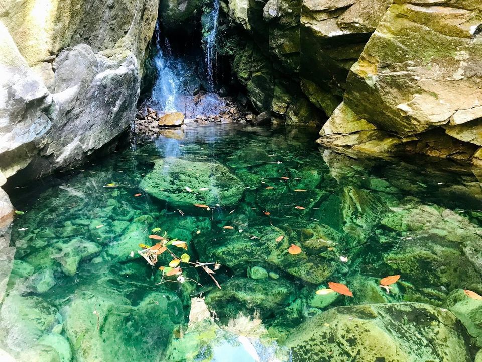
Complex terrain
It is no coincidence that Nam Kang Ho Tao is known as the most difficult trekking route in Northwest Vietnam. The terrain is rocky, slippery, and steep. The distance from the climbing point of Thao A village to the camping point of Lan 1 takes about 9 hours (normal climbing), 9 hours to go from Lan 1 to the top and 9 hours to return to Lan 1. 7 hours from Lan 1 to Thao A village. Before coming to the village, you have to pass more than 11km of extremely difficult off-road roads when it rains.
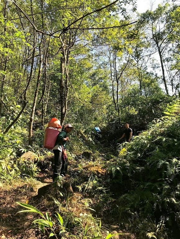
Therefore, Nam Kang Ho Tao is also known as the “mortal road”. Many places without a lifeline, crawling all over, clinging with both hands and feet, it is impossible to pass. The most exhausting part of the road is when crossing the forest. The forest road at Nam Kang Ho Tao is like a maze with no exit. The trail tracks are not obvious, every segment is the same. While walking, just have to find the way.
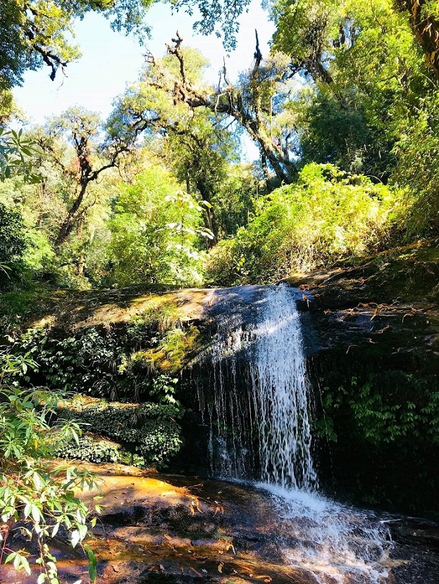
Waterfalls and streams are as dangerous as their beauty. Due to the rocky terrain, the stream here is strong and quite slippery, you should be careful when crossing the stream to avoid accidents. The weather is unpredictable. The day is hot, the night is cold quickly, sometimes the fog is pulled by the clouds, and you can’t see the way, especially in winter, the mountain weather is a challenge even for the most seasoned backpackers.
The best time for trekking Nam Kang Ho Tao ?
There are 2 times you should conquer: in February to the end of March and around September to the end of November.
The weather is dry. The temperature is neither too hot nor too cold to help keep health more stable. The weather is sunny, making the terrain less slippery. Little or no fog makes it easier to navigate. This is also the season when ethnic people go to the mountain a lot to dig bamboo shoots and hunt, so the trails are quite clear and easy to go.
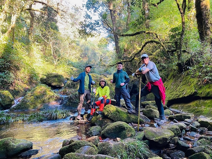
Absolutely should not go to Nam Kang Ho Tao in the rainy season (May to the end of September). The cliff became a slippery deathbed. The streams that are difficult to go will become rushing waterfalls that bring flash floods at any time. The forest rains will cause you to get malaria, if accidentally bitten by forest mosquitoes will be extremely dangerous.
Around December – January is the time when Nam Kang Ho Tao is immersed in fog and cold. You should also not climb the mountain at this time. Determining the way, direction becomes difficult. Getting lost often happens, the cliffs that are already difficult to walk and obscured by fog are even harder to find a fulcrum to cling to.
Physical requirements
If you are just starting out with climbing, it is best not to choose Nam Kang Ho Tao. Try your hand at the lower, more conquering mountain ranges to get used to first. You should practice endurance, endurance, get used to climbing for a long time from 5 to 6 hours. At least 1 month before your climbing journey, you must start doing heavy physical exercises.
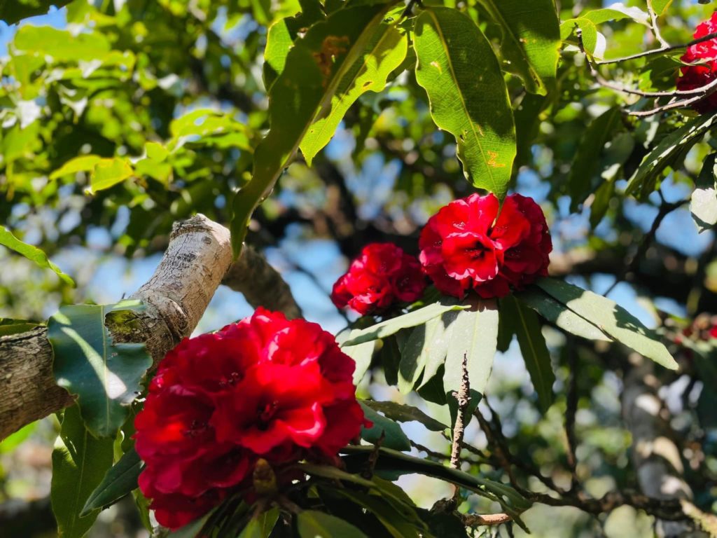
Rated by backpackers as the most arduous trekking route in the Northwest, with complicated and dangerous terrain because it has to overcome many cliffs and slippery rocks, this is also one of the most worth climbing arcs in Vietnam.
Because conquering this arduous journey will bring memorable experiences and pride in the effort to surpass yourself. For a complete journey, you should prepare enough equipment as well as health to ensure participating in climbing Nam Kang Ho Tao with the best conditions.

